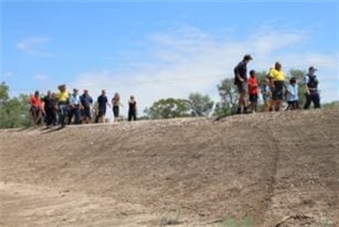
Walgett Levee Bank Walk
The town of Walgett, situated on extensive plains only a couple of kilometres off the junction of the Barwon and Namoi Rivers, has been subject to major flooding by those rivers and their tributaries on various occasions over the years.
The record flood of 1890, which flooded the entire town was the highest recorded when the Barwon reached a peak of 13.84 metres. A brass plate on the old Post Office at the corner of Fox and Wee Waa streets, donates the height of the water in the town at that time. Other major floods followed in 1921 at 13,33 metres and in 1950 at 13.46 metres.
This flooding caused isolation and interruption to many services, supplies and day-to-day living in town. Landholders were also marooned by the floodwaters, so thoughts of constructing a levee bank started to take shape. Designs and surveys took place in the 1950s and by April 1961, tenders were called for the construction.
The successful tenderer’s were Phillips Construction Pty Ltd. Twenty-two weeks later, using scrapers, bulldozers, graders and water carts; The first permanent levee bank in Australia was completed and is
WALGETT’S LEVEE BANK SAVED TOWN FROM FLOOD
Despite the 1976 flood reaching near record levels along the Bar won/Darling Rivers, the residents of Walgett had few worries because of the town’s permanent levee bank. The construction of the levee banks resulted from public agitation after the 1956 floods. In July of that year, the then Minister for Conservation advised Walgett Shire Council that it would be possible to construct a permanent levee bank around the town of Walgett under the provisions of the River and Foreshores Improvement Act. In August, the council resolved that the Water Conservation and Irrigation Commission be advised that council desired to proceed with the erection of the permanent levee banks. After all preliminaries including licences and land acquisitions, the construction started in late 1959, and the levee banks were completed the next year. The levee is nearly 9 kilometres in length and completely rings the town. It has an average height of 2.44 metres (8 feet) and a maximum height of 3.66 metres (12 feet). The banks contain approximately 160 650 cubic metres (210 000 cubic yards) of earth. The cost was £65,000 ($130,000) and the levee banks were designed to be 0.61 metres above the highest known flood in 1890.
Source: National Library of Australia